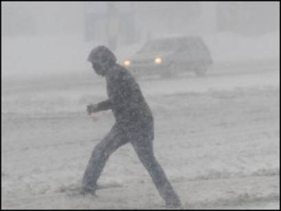
The temperature of 32 F is the freezing/melting point of water but it is often the case that snow will occur when the temperature is above 32 F, even well above 32 F due to the weather conditions aloft. The reason for this is due to the time it takes snow to melt as it is falling. As long as snow is seen falling to the ground, it will be reported as snow regardless if it is accumulating or melting quickly as it hits the ground. When it is snowing and the temperature is above freezing, typically the temperature will drop. When the snow is heavy, the temperature will quickly drop to near 32 F. The cooling agents that snow provides are evaporation and melting. The cooling from evaporation is much more significant especially if the relative humidity is fairly low. When snow falls into dry air, it can be expected that the air will rapidly cool. The cooling will dramatically slow once the relative humidity reaches 100% since the rate of evaporation will be considerably less. Cooling also occurs from melting. Snow melting in the air and on the ground as it falls will also help contribute to cooling the air. Both evaporation and melting are latent heat absorption processes that help cool the air. As mentioned, evaporation has a much higher influence on cooling air especially if the air is initially dry. It is possible to see snow falling up to perhaps a temperature of 50 F but the temperature will quickly cool down as it continues to snow. If the temperature is not able to cool enough then the snow may change over to rain. The best chance of seeing a 50 F temperature and snow is when the air is dry and the snow is fairly heavy. This will only last briefly though. The temperature will rapidly cool off and the snow may change to rain. It can rain when the temperature is below freezing outside (freezing rain). This shows how important the weather conditions aloft are along with the conditions at the surface when it comes to the precipitation type observed.


